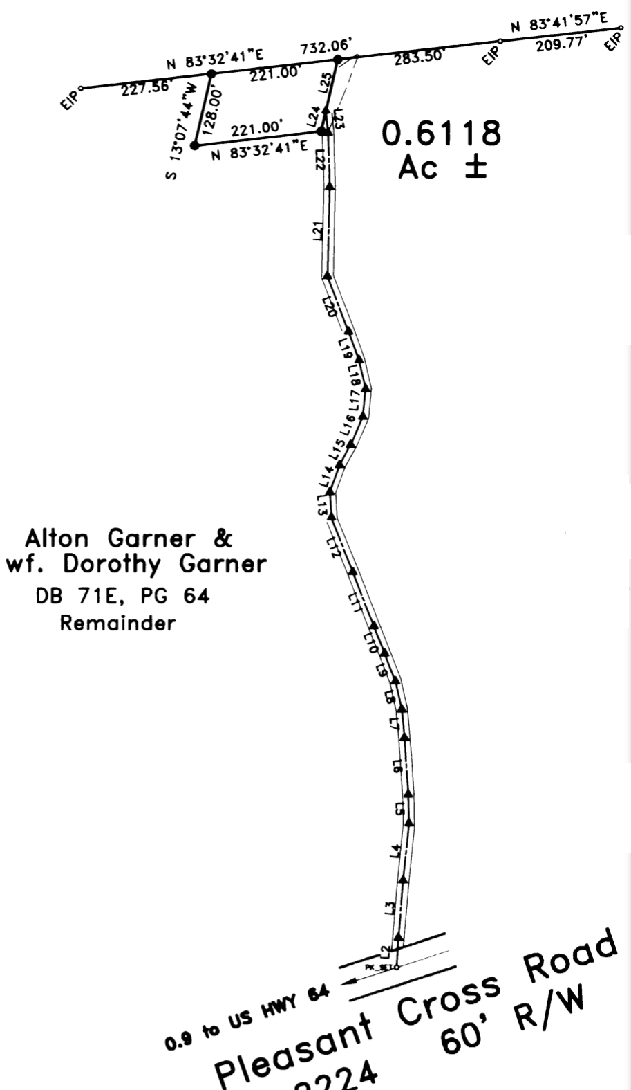
This Survey Plat Map was filed May 10, 2002 (Randolph County, NC Book 77 Page 66). As you can see, the cemetery consists of 0.6118 Acre and, at that time, was surrounded on 3 sides by land owned by Alton and Dorothy Garner and on the 4th side by the land owned by Douglas and Myrtle Vuncannon. As of September 18, 2020, all of that surrounding land is owned by Quincy Hill Farm, LLC.